
Story and photos by Cheryl Hartz

At more than 7,000 feet of elevation and far from the light pollution of any large city, Heron Lake State Park is a stargazers’ dream. In northern New Mexico, this park is well worth the day-long drive from the Prescott area.
This also is a cautionary tale about trusting your vehicle’s navigator. Ours directed us to State Route 64 through the corner of Arizona into New Mexico. It seemed fine until suddenly, without warning, the “state highway” became a dirt track through the Jicarilla Apache Nation Reservation.

We lost our trailer’s spare tire somewhere along this rough rutted road and came out on a narrow winding two-lane. The confused truck navigator kept instructing us to turn onto private driveways. A very kind lady stopped next to us as we tried to figure out where we were. She had us follow her to Heron Lake State Park. Turns out we were within a few miles.
Also turns out this happens to a lot of travelers. We got a free map at the wonderful Visitor Center in Chama and chartered our route home the old-fashioned way.
But back to the park….

We set up in the dark and were snug in our camper enjoying a quick backpacking meal when the rain began.
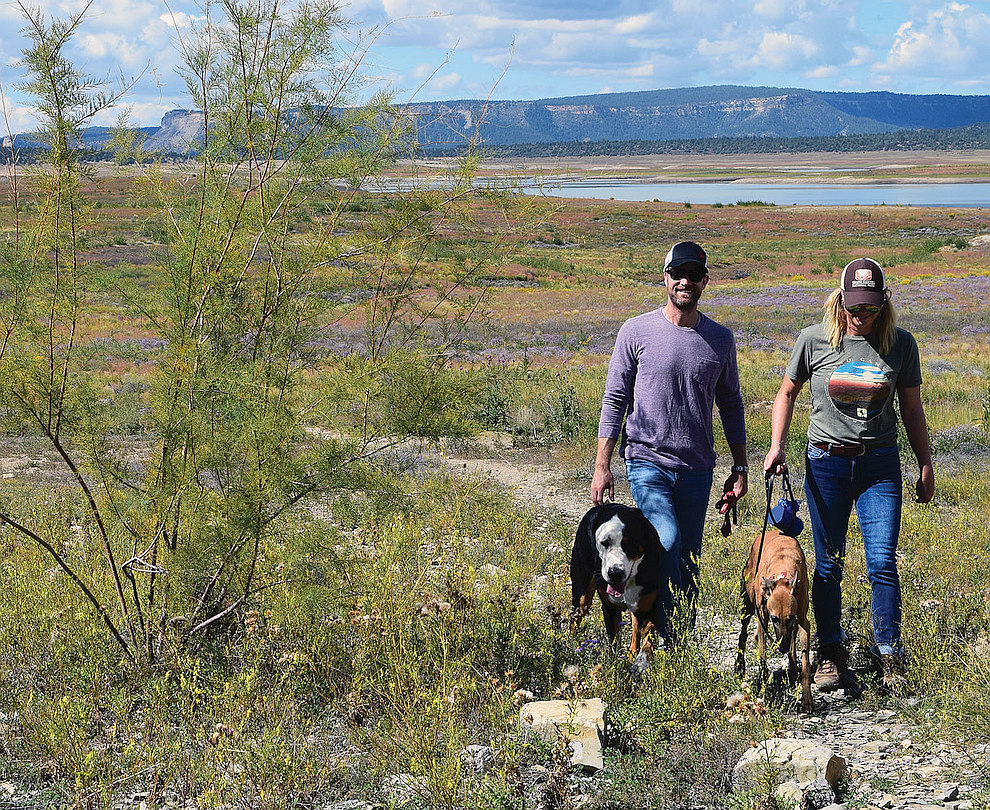
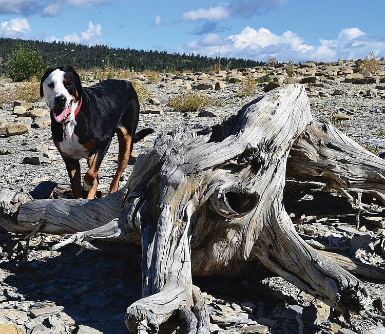
A rough start, but the rest of that September week was wonderful, as our daughter and son-in-law met us with a rented RV large enough to accommodate their Swiss Mountain dog and greyhound. Both canines are excellent voyagers and hikers.
We set out to explore the campground and bushwhack down to the lake, which was extremely low due to ongoing drought. A social path—or maybe an elk route—led us through a profusion of purple and yellow flowers. Mud rimmed the lake for dozens of yards, but that didn’t stop Lady Daphne Greyhound. She trotted her dainty feet right over it and sank down in the muddy water to cool off.
The park has a nature trail and several unnamed paths throughout the campgrounds. Salmon Run trail is 5 miles one way of moderate difficulty through the pines and sage brush above the lake’s edge. The 2.4-mile East Meadow trail starts at the visitor center and gently traverses open meadows to an overlook. The Rio Chama trail along the Rio Chama River was closed and remains so this year for construction.
Our shared meals were special as we dined at the picnic table between our two campsites, hidden in a tree “cave” of juniper among the towering Ponderosa pines.
The temperature dropped quickly after sunset, so we bundled up, tipped back in our anti-gravity chairs, covered with blankets, and studied the inky firmament.
The stars blazed in bright relief, seemingly covering every square inch of the heavens. I was in awe. Never had I seen anything like it. Frequent orbiting satellites and shooting stars added to the evening entertainment.
A couple of days later, we drove to launch our kayaks in a more accessible place, but still had to traverse the mud. All docks were well above the waterline. Still, even the depleted lake is huge, and we enjoyed the paddle. Yes, we saw herons.
We will return one day, hopefully when the lake is more full and this year’s campground water issues have been resolved.
Happy stargazer camping!
~ Cheryl Hartz ~