Story and photos by Cheryl Hartz
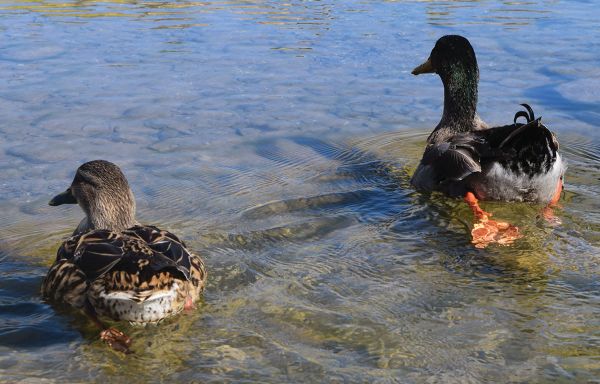
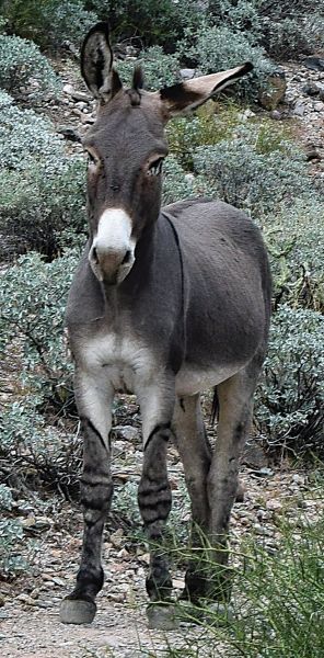
Even if you are not an equine aficionado, the wild burros at Lake Pleasant Regional Park will enchant you. Hearing them bray at any hour of the day or night made me smile. And the little donkeys are only one pleasing aspect of this expansive area.
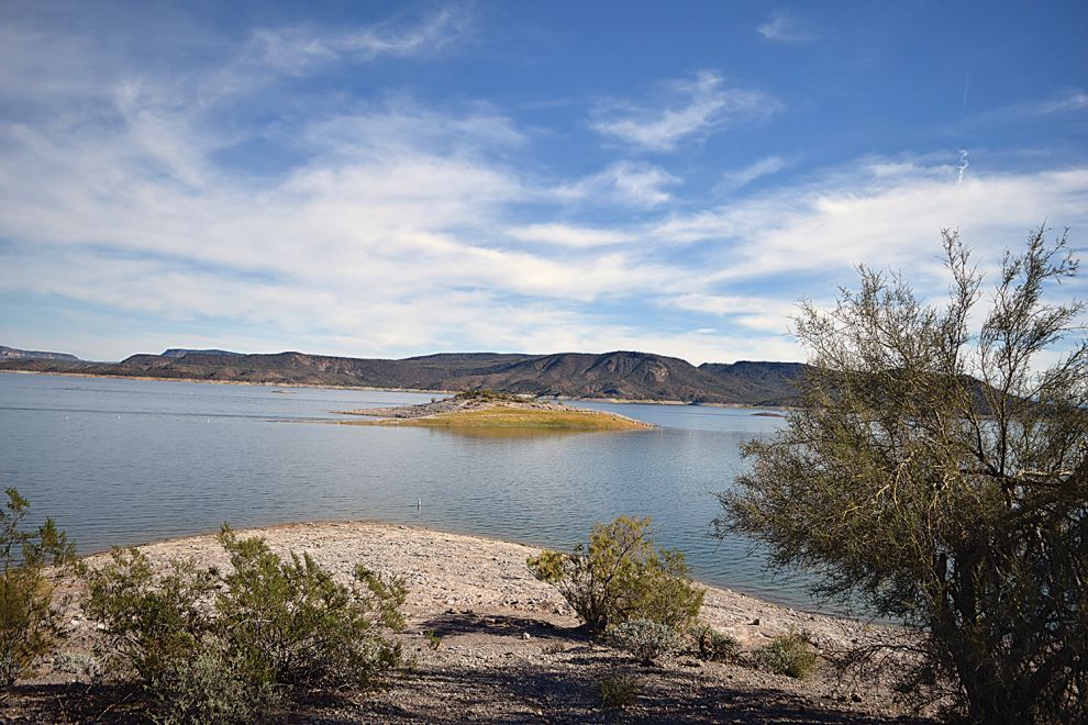
Lake Pleasant Regional Park sits on 23,662 acres straddling Yavapai and Maricopa Counties, within Peoria’s boundaries. Some inflow comes from the Agua Fria River, but most is diverted from the lower Colorado River as part of the Central Arizona Project. The Waddell Canal channels the water from the CAP aqueduct into the reservoir.
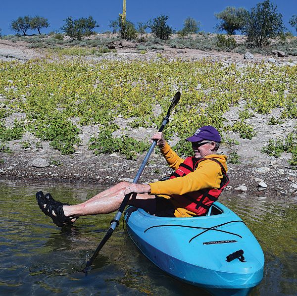
With a mean depth of 70 feet, year-round the lake is ideal for boating – in our case kayaking – swimming, paddle boarding, scuba diving, and fishing. We even saw swimmers crossing the lake as they competed in a triathlon. In the spring, Lake Pleasant can swell to 10,000 acres, and shrinks to about 3,000 acres during dry times.
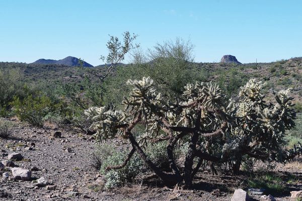
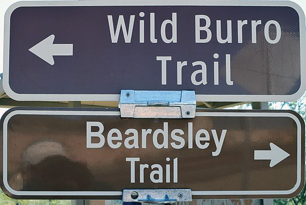
A plethora of trails enhance the park. Almost all are rated easy and allow bikers, horseback riders, and hikers. The longest, at 4.4 miles, is Beardsley Trail, which winds through the Sonoran Desert.
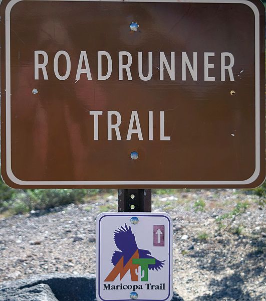
Frog Tanks Trail is ½-mile connecting Beardsley to the 0.4-mile Roadrunner Trail, which skirts Lake Pleasant’s southern shoreline, includes a 2-room prehistoric Hohokam Indian hilltop lookout ruin and ends at the Discovery Center. These trails are aspects of the 315-mile Maricopa Trail.
Our favorite was the 1.6-mile Wild Burro Trail heading to Pipeline Canyon. This trail hugs the western shoreline, which was farther away than we would have liked, due to low lake levels. But Two Cow and One Cow Coves were fun to pass, even though we saw no cows at all. Burros and/or burro sign were rather abundant, however.
Every burro we encountered in the park seemed fascinated by humans, but all were wary. We knew better than to approach them. But I was no threat in my kayak to a dam and her foal on shore just below our campsite.
Cottonwood Trail extends 1.2 miles beyond Wild Burro.
The Pipeline Canyon Trail is 0.9 miles of moderate difficulty and offers access to Yavapai Lookout, overlooking Pleasant Harbor Marina.
Also of moderate difficulty, but for hikers only in Pipeline Canyon, is the 3.1-mile Yavapai Point Trail.
With plenty of area to explore, you won’t miss hiking the arm of the Agua Fria River that’s closed for bald eagle nesting until June 15.
Keep in mind Lake Pleasant is in the Valley of the Sun, so unless you plan to stay in the water, skip summer visits!
Happy wildlife spotting!