Story and Photos by Cheryl Hartz
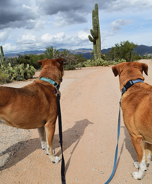
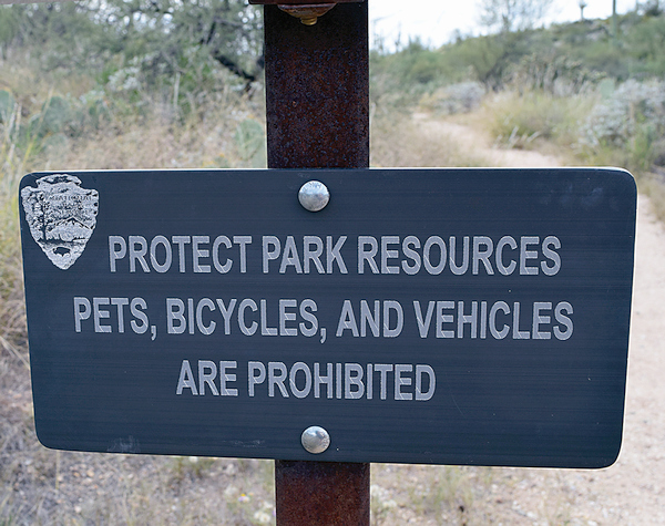
Just like all national parks, the two separate sections of Saguaro National Park near Tucson mostly are closed to pets. Roadways, parking lots, picnic areas and a couple of paved trails are OK for leashed dogs and bicycles. Otherwise you have to hike or horseback ride alone on the trails.
National Park Service reasoning behind this is mostly protection of humans and wildlife from pets, of pets from wildlife and trail conditions (heat, prickly things, poisonous snakes, abandoned mine shafts). Service animals performing a vital life function are exempt, of course.
Saguaro National Park’s western section is the Tucson Mountain District. Rincon Mountain District is the eastern allotment. Each has its appeal.
You can read more about the park’s trails on its website, but here’s the condensed version.
- Saguaro East Rincon Mountain District: Homestead, 1 mile
- Loma Verde Loop, 3.8 miles
- Hope Camp and Ridgeview, 2 miles
- Garwood Tank and Wildhorse Tank, 6.4 miles
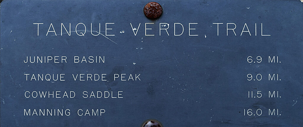
- Tanque Verde Ridge, up to 8.7 miles
- Saguaro West Tucson Mountain District: Wild Dog Trail, 1.8 miles
- King Canyon/Gould Mine Loop, 2.4 miles
- Sendero Esperanza Trail to the Ridge/to Wasson Peak, 3.4 to 8 miles
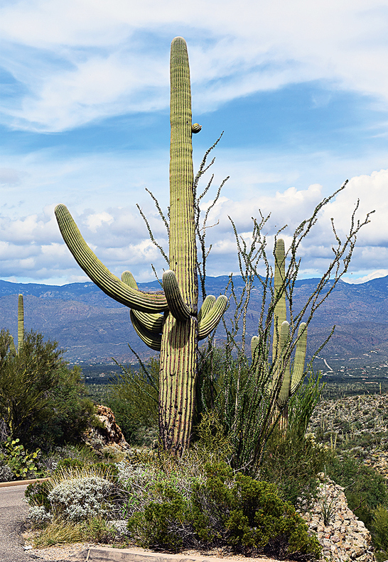
Bird species abound, from large hawks to tiny hummingbirds, along with others common to the desert, such as quail and roadrunners. Some are rare in the U.S. – vermilion flycatchers and whiskered screech owls, in particular. Owls, woodpeckers and songbirds nest in holes in the giant cactus for which the park is named, either excavating their own or acting as opportunists in existing holes.
Among larger mammals present in Saguaro are black bear, coyote, bobcat, mule deer, javelina, coati, badger, skunk, and mountain lion. If fact, Grass Shack campground reopened recently after a short closure because of a mountain lion activity this winter. Stay alert wherever you hike.
The west side has the Signal Hill Petroglyph site, with more than 200 petroglyphs, representing some of the Southwest’s extensive ancient history. Along more modern lines, young men of the CCC (Civilian Conservation Corps) built dams and roads in the area between 1934 and 1936.
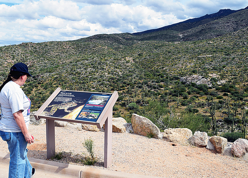
Most of the dams, to stop erosion and provide water for wildlife, are gone. The main road, Cactus Forest Drive, still maintains the original road alignment and serves its purpose of providing park visitors an unobstructed view of the Sonoran Desert landscape.
As of early February, both park visitor centers were limited to 10 people at a time. Masks are required inside. Museums, exhibits and theaters are closed. For more information, visit the National Park service website at: tinyurl.com/2p8e9b7t .
Happy Sonoran Desert Hiking!